
Chicago Aerial Photography | Professional Elevated Photography Services
Professional aerial photography that captures stunning elevated perspectives for commercial, real estate, industrial, and creative projects, combining advanced drone technology, high-resolution cameras, and expert composition to deliver exceptional imagery that showcases subjects from dramatic vantage points. Serving Chicago businesses and organizations with FAA-certified aerial operations that provide unique perspectives impossible to achieve from ground level.
About
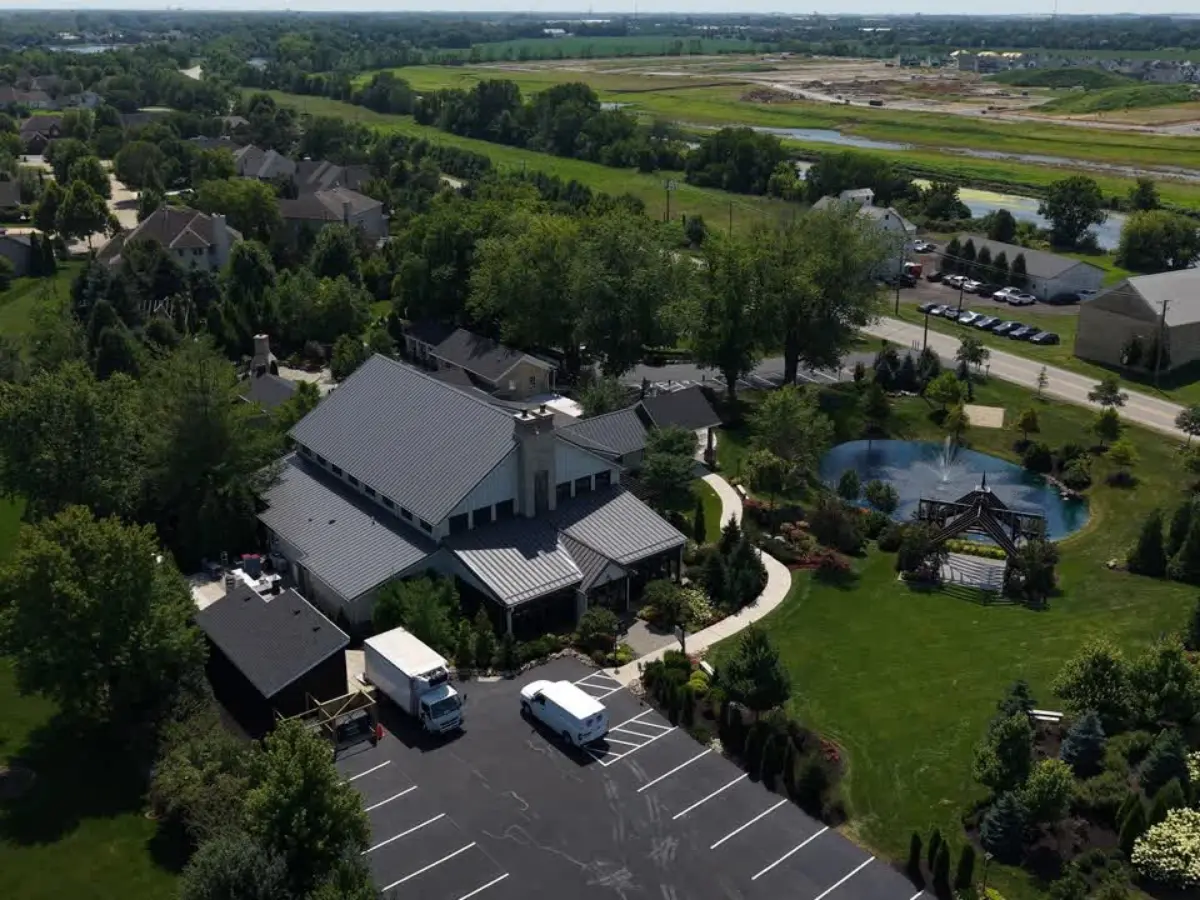
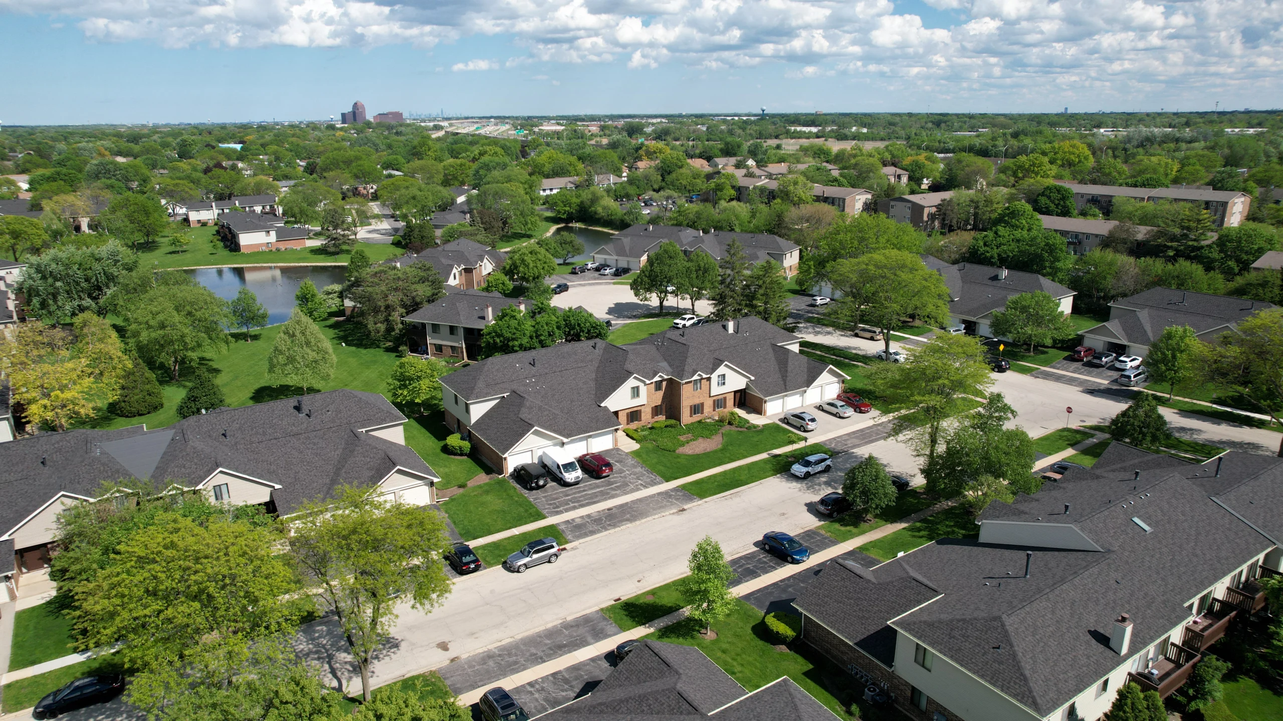
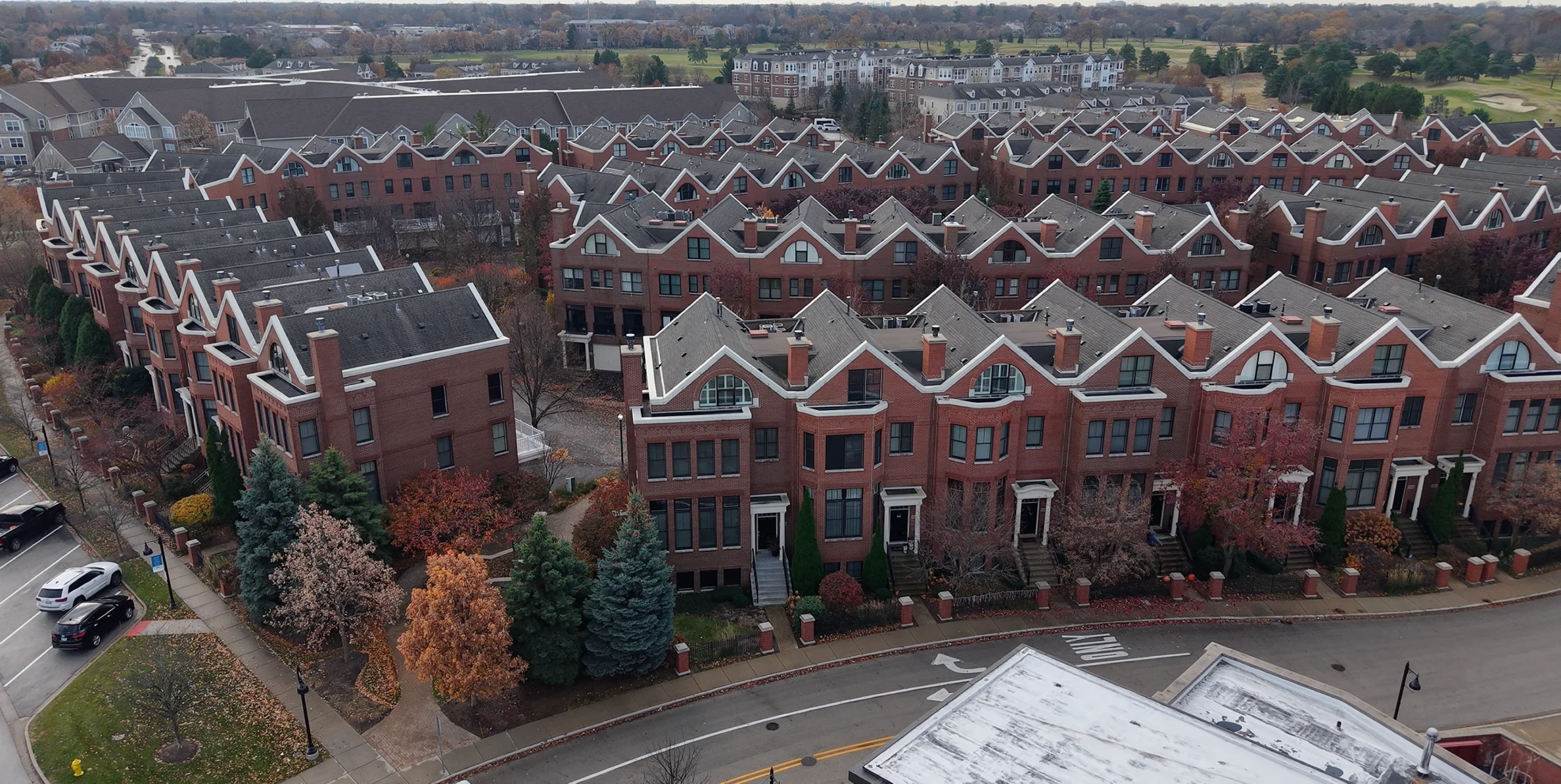
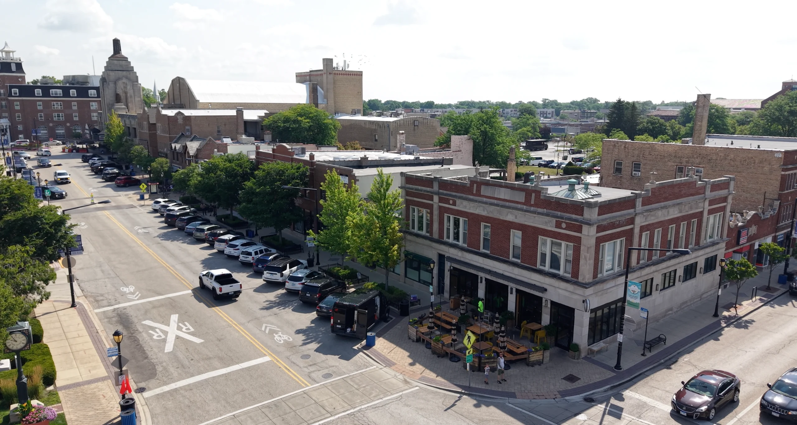
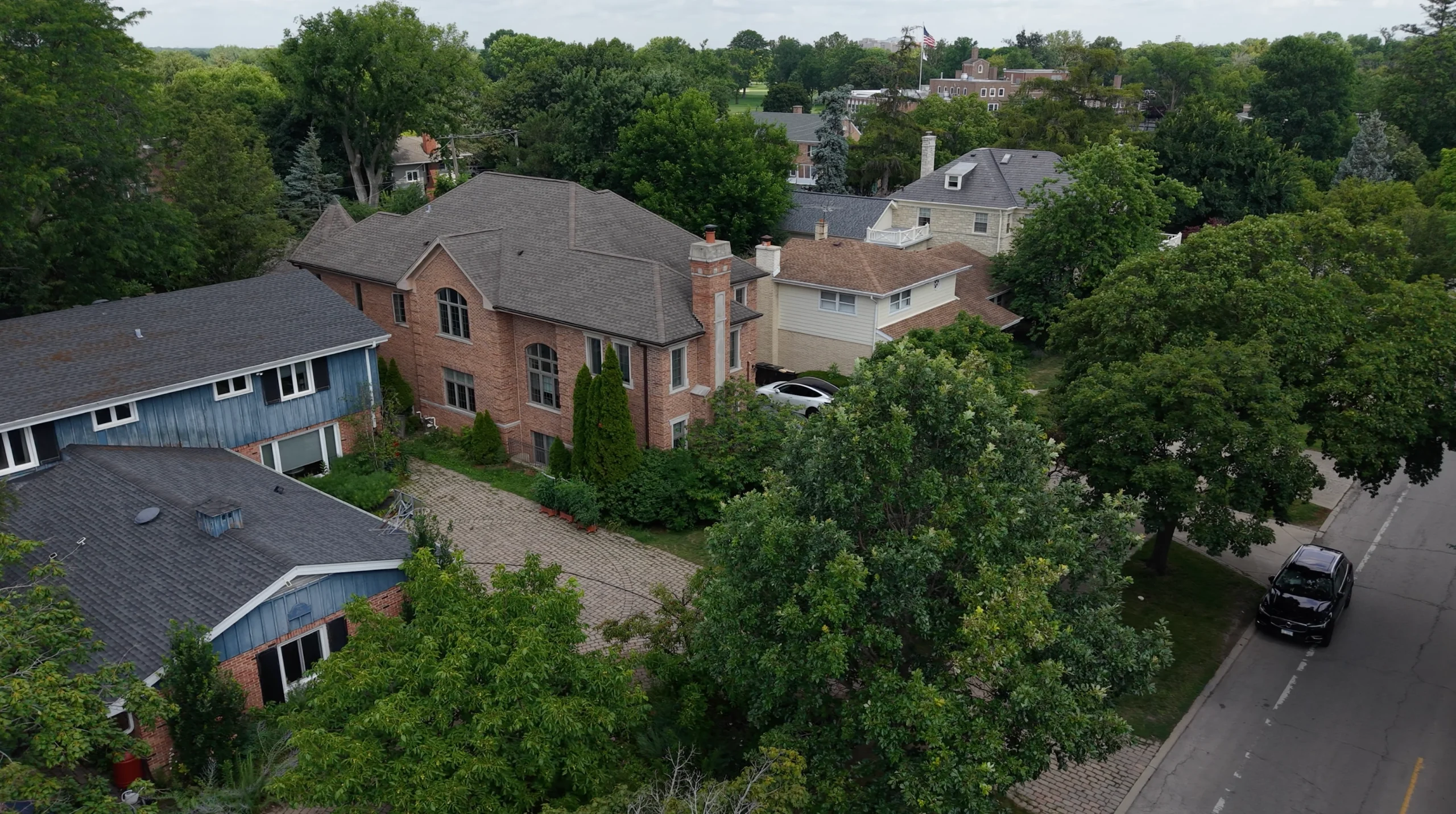
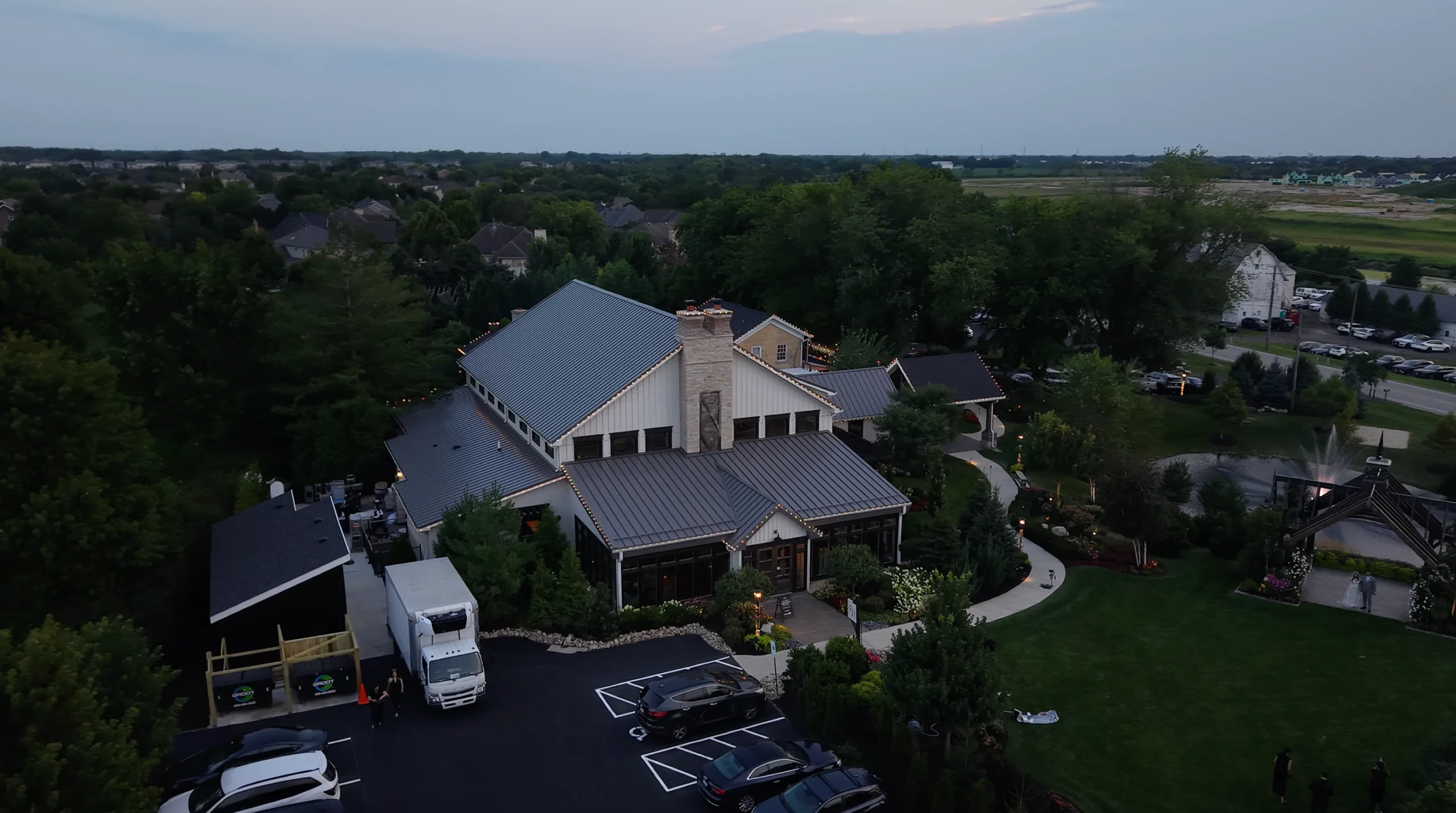
Aerial photography provides perspectives that fundamentally change how subjects are perceived, understood, and appreciated—revealing patterns invisible from ground level, showcasing scale and context, and creating visual drama that captures attention in crowded media environments. Professional aerial photography serves diverse needs across industries, from real estate marketing and construction documentation to industrial facility showcasing, infrastructure inspection, environmental monitoring, and artistic landscape photography. As a Chicago photographer specializing in aerial imaging with FAA-certified drone operations, I provide elevated perspectives that solve communication challenges and enhance visual storytelling across commercial, industrial, and creative applications. Aerial photography requires technical expertise beyond standard photography—understanding aviation regulations, weather patterns affecting flight safety, compositional principles in three dimensions, and the specific elevated angles that make subjects look their most impressive or communicate information most effectively. I work collaboratively with clients to understand their objectives and capture the aerial perspectives that best serve their goals, whether that’s showcasing property boundaries, documenting site conditions, creating marketing imagery, monitoring project progress, or capturing artistic landscape compositions. From downtown commercial properties and suburban developments to industrial facilities and natural landscapes, my aerial photography combines technical precision with creative vision to deliver images that not only document subjects accurately but present them in ways that engage viewers, communicate clearly, and achieve measurable results in marketing effectiveness, project documentation, and visual communication.
Why Choose Us
What sets our aerial photography apart: FAA Part 107 certification with comprehensive insurance coverage, professional high-resolution camera systems capturing exceptional detail, and expertise in composing aerial imagery that serves specific business and creative objectives.
FAA-Certified
Operations
Fully licensed Part 107 commercial drone pilot with comprehensive liability insurance and proper authorization for commercial aerial photography. Legal compliance protects clients from regulatory risk while ensuring professional, safe, and authorized operations.
High-Resolution
Imaging
Professional aerial cameras capture images up to 48MP with exceptional detail, color accuracy, and dynamic range. Advanced sensor technology ensures superior image quality suitable for large-format printing, detailed analysis, and professional marketing applications.
Same-Day
Delivery Available
Standard delivery within 24-48 hours, with same-day rush services available for time-critical projects. Efficient workflow from flight operations through post-processing ensures aerial imagery is available when you need it.
Technical
Expertise
Deep understanding of aerial imaging requirements across industries—optimal altitudes for different subjects, angles that reveal important details, lighting conditions that enhance visibility, and compositional approaches that serve specific documentation or marketing objectives.
Advanced
Processing
Professional post-processing including HDR blending, color correction, geometric correction, perspective adjustment, and enhancement transforms raw aerial captures into polished images ready for any professional application.
Comprehensive
Coverage
Capable of capturing everything from wide-area overviews showing entire facilities or properties to detailed close-up imagery of specific features. Multiple altitudes and angles ensure comprehensive documentation and optimal visual communication.
What You Get
01
High-resolution aerial images
02
Multiple altitude captures
03
HDR processing
04
Geometric correction
05
Custom deliverable formats
06
Fully insured operations
How It Works
Our aerial photography process ensures safe, legal, and professional elevated imaging that delivers high-quality results tailored to your specific needs.
1
Project Consultation
2
Mission Planning
3
Aerial Capture
4
Image Processing
5
Quality Review
6
File Delivery
Frequently Asked Questions
What industries do you provide aerial photography for?
We serve diverse industries including real estate (commercial and residential), construction and development, industrial facilities and manufacturing, infrastructure and utilities, agriculture and land management, environmental monitoring, architecture and engineering firms, insurance and legal documentation, and creative/artistic projects. Each industry has unique aerial imaging requirements, which we address with specialized expertise.
Can aerial photography be used for accurate measurements and site analysis?
Yes, aerial photography can provide accurate measurements when captured and processed properly. We can deliver georeferenced imagery, orthomosaic maps created from multiple overlapping images, and photographs with known scale for dimensional analysis. For projects requiring precise measurements, we discuss specific requirements during consultation to ensure appropriate capture methods and processing.
How do weather conditions affect aerial photography?
Weather significantly impacts aerial photography quality and flight safety. Optimal conditions include wind under 20mph, no precipitation, good visibility, and appropriate lighting (avoiding harsh midday sun or very low light). Overcast conditions can actually be ideal for some applications by providing even lighting without harsh shadows. We monitor forecasts closely and reschedule when conditions won’t produce quality results.
What's the typical altitude range for aerial photography?
Most aerial photography occurs between 50-400 feet above ground level, depending on subject size and desired perspective. Lower altitudes (50-150 feet) provide detailed views of specific features, medium altitudes (150-250 feet) balance detail with context, and higher altitudes (250-400 feet) capture broader overviews. We select optimal altitudes based on your specific documentation or marketing objectives.
Trusted by Chicago's Best
Chicago businesses and organizations trust our aerial photography to provide high-quality elevated perspectives that enhance their marketing, documentation, and project management with professionally captured and processed imagery.
“We’ve used Emiliano’s aerial photography for multiple industrial facility documentation projects. The elevated perspectives clearly show our plant layout, storage areas, and operational flow in ways that ground-level photography cannot capture. The images have been invaluable for safety planning, operational efficiency analysis, and investor presentations. He understands industrial environments and consistently delivers clear, high-resolution imagery on schedule. Highly professional service.”
Thomas Anderson
“Emiliano provided aerial photography for our construction project documentation, capturing progress at key milestones throughout the development timeline. The aerial images clearly show site conditions, work progress, and final completion in ways that were essential for our client reporting and project records. He’s reliable, handles all the FAA requirements seamlessly, and the image quality is consistently excellent. Will definitely use his services for future projects.”
Laura Brennan
“As a commercial real estate developer, aerial photography has become essential for our property marketing. Emiliano’s aerial images showcase our developments’ scale, location advantages, and surrounding amenities beautifully. The elevated perspectives help potential tenants and buyers understand exactly what we’re offering in ways ground photos cannot. Fast turnaround, professional results, and very reasonable pricing. He’s become our go-to for all aerial imaging needs.”
Richard Park
Other Drone
Services
join the success
Ready to Get Started?
Let’s capture stunning aerial photography that showcases your Chicago property, project, or event from dramatic elevated perspectives.