
Chicago Real Estate Drone Services | Professional Aerial Property Photography
Professional real estate drone services that showcase properties from breathtaking aerial perspectives, combining FAA-certified piloting, cinematic camera work, and expert editing to create stunning aerial imagery that elevates listings above the competition. Serving Chicago real estate professionals with licensed drone operations that capture property scale, location context, and surrounding amenities in ways ground photography cannot.
About
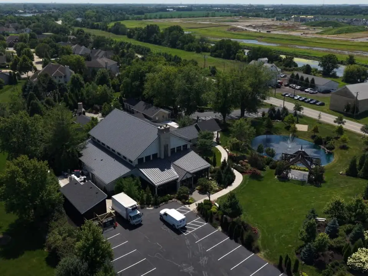
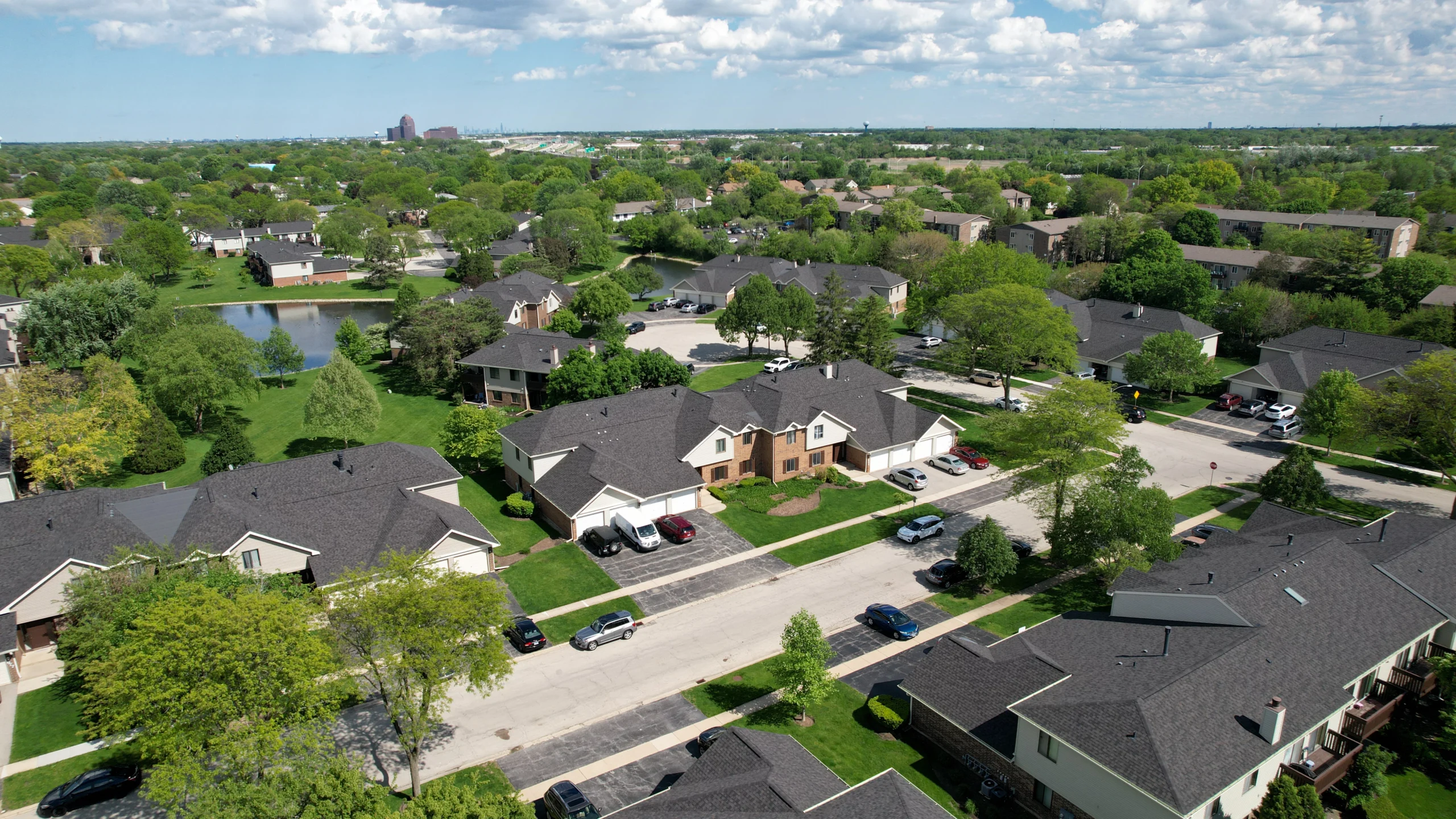
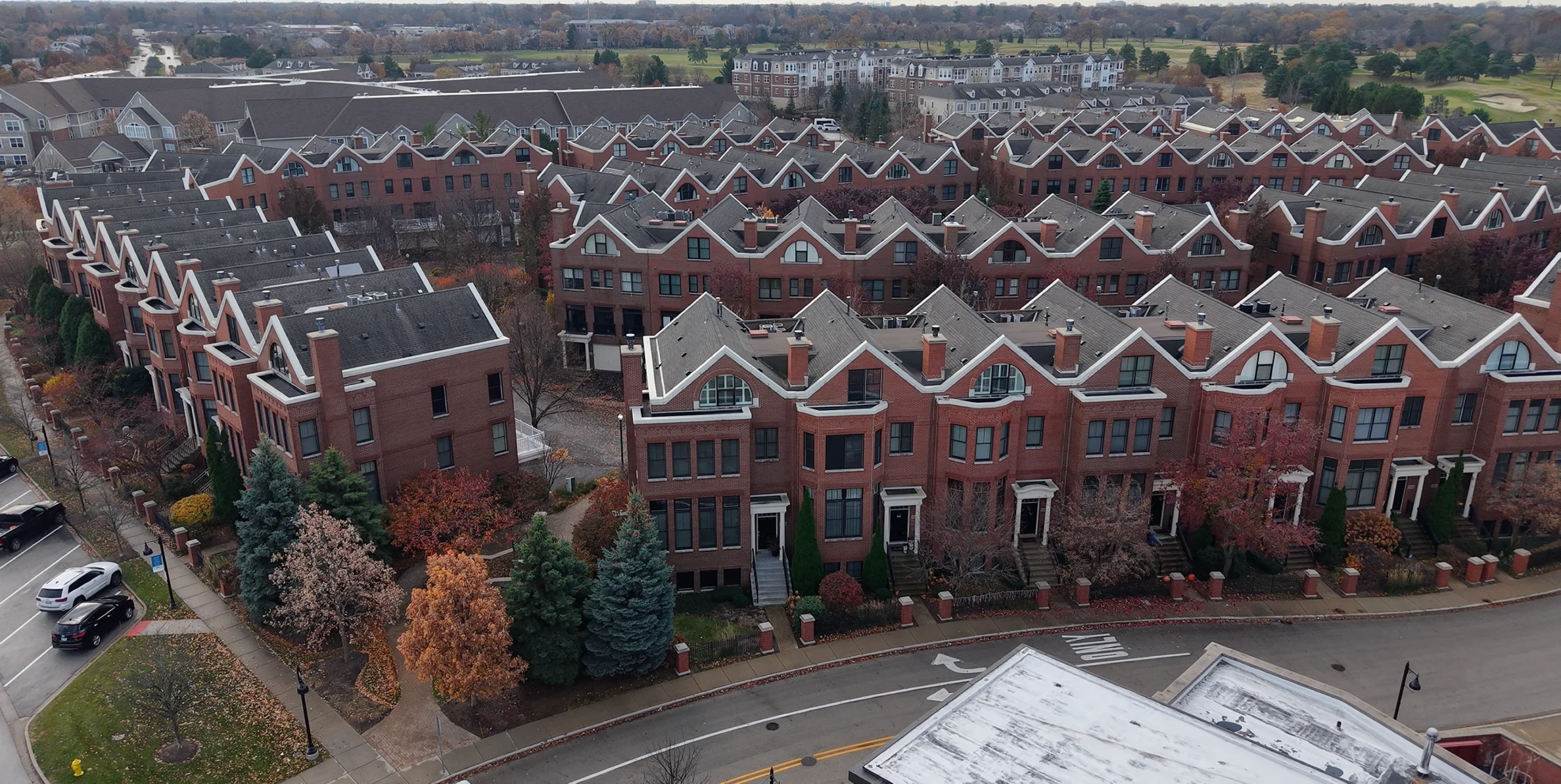
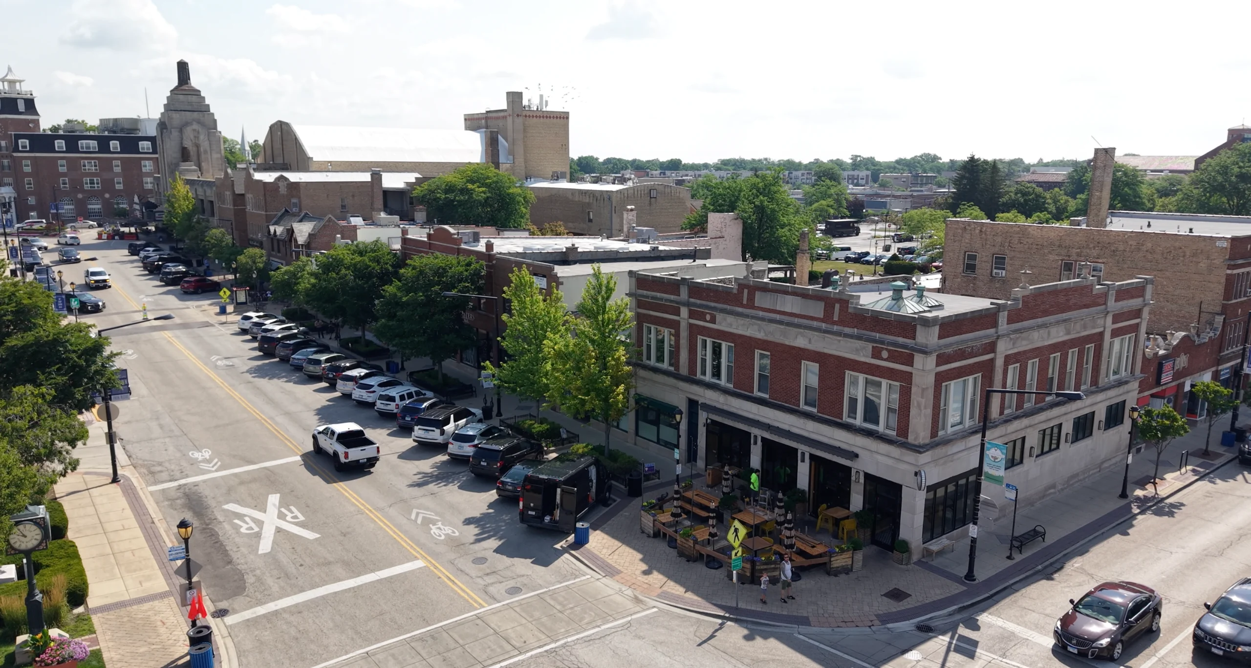
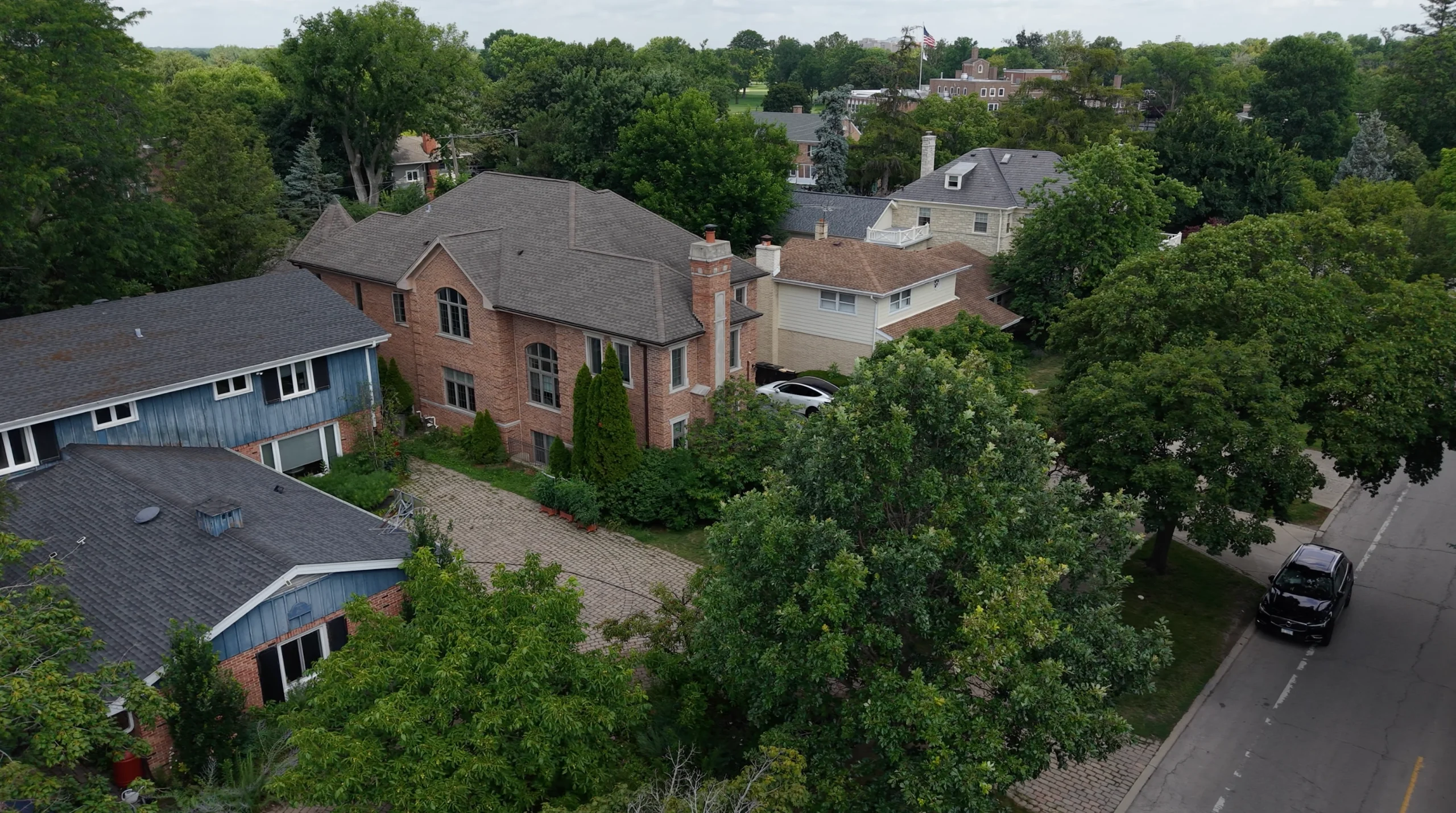
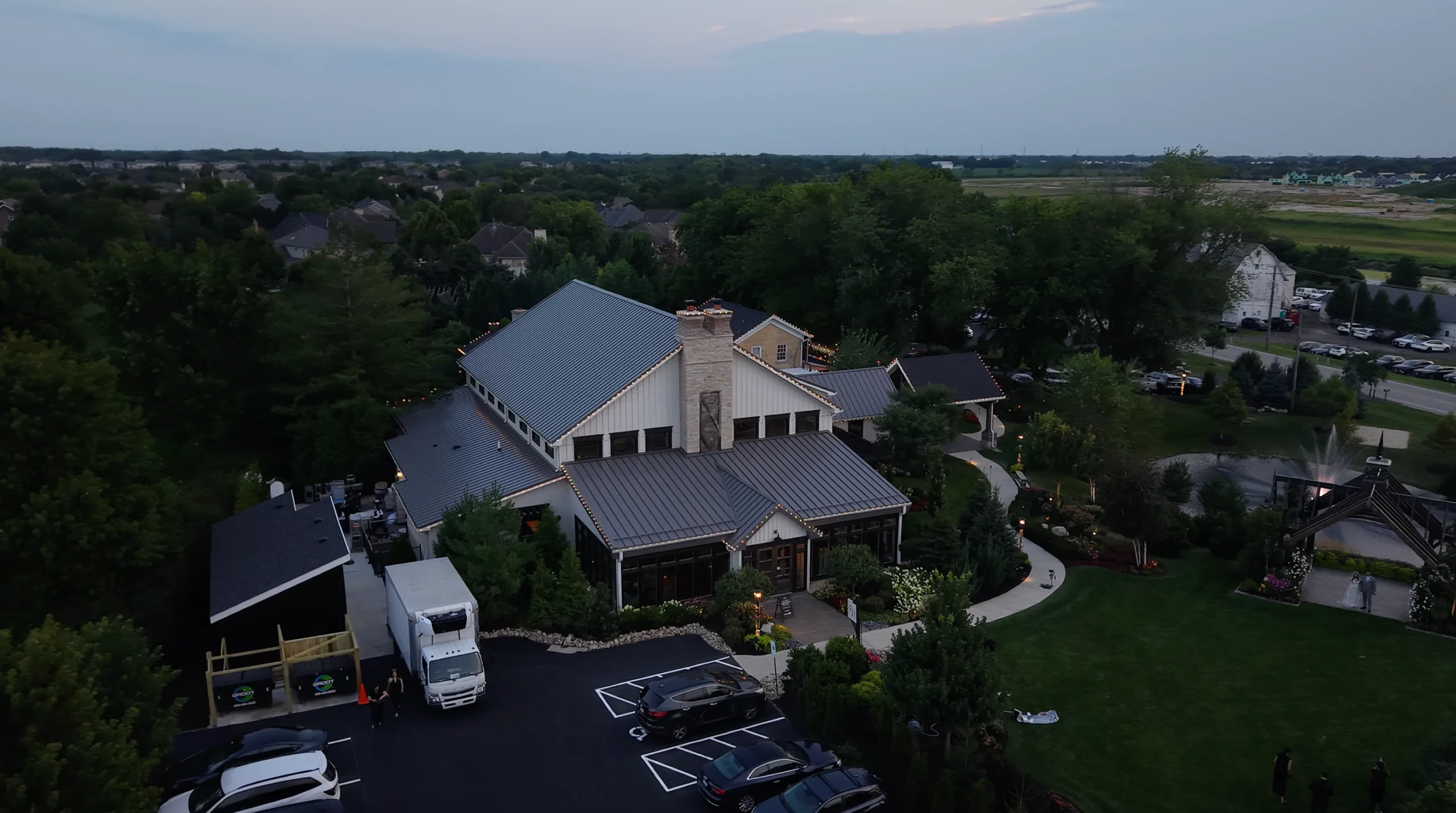
Aerial imagery has become essential for modern real estate marketing, particularly for properties with significant land, attractive surroundings, or desirable locations. Professional drone services provide perspectives that help buyers understand property context—lot size, landscaping, proximity to amenities, neighborhood character, and architectural presence—in ways that ground-level photography simply cannot capture. As a Chicago-based FAA-certified drone pilot specializing in real estate aerial photography, I combine technical flying expertise with cinematographic skill to create compelling aerial content that makes listings memorable. Real estate drone services require more than owning equipment; they demand understanding of aviation regulations, weather assessment, property aesthetics from above, and the specific aerial shots that resonate with buyers. I work closely with real estate agents and property owners to capture the aerial perspectives that best showcase each property’s unique advantages, whether that’s expansive grounds, waterfront location, proximity to downtown, or impressive architectural presence. From luxury estates and lakefront properties to commercial developments and multi-unit buildings, I’ve perfected the art of aerial real estate photography that not only looks spectacular but drives measurable results in buyer engagement and property interest.
Why Choose Us
What sets our real estate drone services apart: FAA Part 107 certification ensuring legal and safe operations, professional-grade equipment that captures 4K cinematic footage, and expertise in showcasing properties from the most flattering aerial perspectives.
FAA-Certified
Pilot
Fully licensed Part 107 drone pilot with proper insurance and authorization for commercial operations. Legal compliance protects agents and sellers from liability while ensuring professional, safe aerial photography services.
4K Aerial
Video
Professional cinema-grade drones capture stunning 4K video footage with smooth gimbal stabilization, creating cinematic property tours that showcase scale, location, and surroundings in ways that captivate potential buyers.
Fast
Delivery
Edited aerial photos and video delivered within 24-48 hours of the shoot, with rush services available for urgent listings. Quick turnaround ensures aerial content enhances listings without delaying market entry.
Strategic
Flight Planning
Pre-flight planning identifies optimal flight paths, best angles, ideal lighting conditions, and key features to emphasize. Every shot is purposeful, showcasing property advantages from perspectives that maximize visual impact.
Professional
Editing
Advanced color grading, stabilization, speed ramping, and cinematic editing transform raw aerial footage into polished content that looks like high-end property marketing films rather than amateur drone clips.
Weather
Contingency
Flexible scheduling accommodates weather requirements for safe drone operations. We monitor conditions closely and reschedule when necessary to ensure optimal aerial photography conditions and flight safety.
What You Get
01
4K aerial video
02
High-res aerial photos
03
Multiple flight angles
04
Cinematic editing
05
FAA-compliant operations
06
Location context shots
How It Works
Our real estate drone services process ensures safe, legal, and professional aerial photography that captures your property’s best features from the sky.
1
Inquiry & Consultation
2
Pre-Flight Planning
3
Drone Operations
4
Video & Photo Editing
5
Review & Approval
6
Final Delivery
Frequently Asked Questions
Do you have proper licensing and insurance for commercial drone operations?
Yes, I am a fully FAA-certified Part 107 commercial drone pilot with proper liability insurance. All operations comply with federal aviation regulations, ensuring legal protection for agents, sellers, and properties. I handle airspace authorization and maintain all required documentation for commercial real estate drone services.
What types of properties benefit most from drone photography?
Properties with significant land, waterfront locations, impressive architecture, large estates, commercial developments, multi-unit buildings, and homes in desirable neighborhoods benefit most from aerial photography. Drone services showcase property scale, lot boundaries, landscaping, proximity to amenities, and location context that ground photography cannot capture.
How long does a typical drone shoot take?
Most residential property drone shoots take 30-60 minutes, depending on property size and number of shots required. Larger estates or commercial properties may require 1-2 hours. Weather conditions and airspace factors can affect timing, which is why we build flexibility into scheduling.
What happens if weather conditions aren't suitable for flying?
Safe drone operations require appropriate weather conditions—wind under 25mph, no precipitation, adequate visibility. If conditions aren’t suitable on the scheduled date, we reschedule at no additional charge. We monitor weather forecasts closely and communicate proactively about any needed changes to ensure optimal aerial photography conditions.
Trusted by Chicago's Best
Chicago real estate professionals trust our drone services to provide stunning aerial perspectives that make luxury listings stand out, showcase property advantages, and create marketing content that drives buyer interest.
“Emiliano’s drone services have become essential for our luxury property listings. The aerial footage provides perspectives that ground photography simply cannot match—showcasing lakefront positions, property scale, and neighborhood context beautifully. His cinematic editing makes our listings look like high-end property films. Buyers consistently comment on the aerial content, and it’s become a major differentiator for our marketing.”
Robert Morrison, Baird & Warner Luxury Homes
“We’ve used drone services from several providers, but Emiliano delivers the highest quality at the most reasonable price. He’s FAA-certified, professional, and understands exactly which aerial shots will make properties look their best. The 4K footage is stunning, turnaround is fast, and he’s incredibly reliable. The aerial content has elevated our entire listing presentation and definitely contributes to faster sales.”
Michelle Torres, Coldwell Banker Realty
“For estates and properties with significant acreage, Emiliano’s drone photography is invaluable. He captures the full scope of the property, landscaping, and surrounding area in ways that help buyers understand exactly what they’re getting. His attention to lighting, composition, and cinematic editing creates aerial content that looks professionally produced. Highly recommend for any high-value listing that deserves premium marketing.”
James Patterson
Other Real Estate
Services
join the success
Ready to Get Started?
Let’s create stunning aerial photography and videography that showcases your Chicago property’s unique advantages and drives buyer interest.